News Archive 2005-2011
2011-10-24
Expedition Greenland
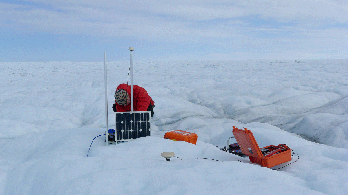
Five members of SED spent the summer of 2011 on the Greenland Ice Sheet. They installed and maintained a seismometer network as part of a glaciological field campaign with an emphasize on deep drilling. This experiment targets critical questions about ice sheet dynamics and subglacial hydraulics, which are central to the current debate of ice sheet stability in a warming climate. The seismic deployment delivered valuable data on englacial dislocation sources and left the expedition members with deep impressions of a marvelous Arctic environment.
2011-10-23
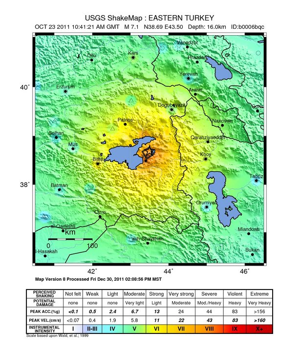
Earthquake in Turkey on 23 October 2011
On 23 October 2011, at 10:41 UTC (12:41 Swiss local time) an earthquake with Magnitude 7.2 occurred in eastern Turkey near the city of Van. The mainshock was followed by numerous aftershocks including strong ones with magnitudes up to 5.7. Earthquakes in that region are caused by the collision of the African and European Plates, which converge there with approximately 24 mm/yr.
Read more...Because the hypocenter was only 5 km beneath the surface, this quake caused, according to current estimates, between 500 and 1000 fatalities and severe damage to infrastructure. Turkey lies in a tectonically active region and is often hit by large earthquakes.
Further information can be found at following links:
2011-10-17
Annual report 2010 online
The annual report of the SED on the seismic activity in Switzerland 2010 is now available online as pdf. The document contains all reports since 1996 and an updated introduction.
2011-10-10
AlpArray
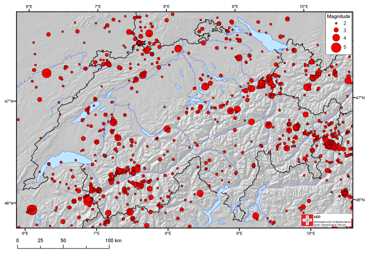
AlpArray is a new initiative to study the greater Alpine area with high-quality broadband seismology experiments using temporary deployments. The main goal is to gather different national efforts and instrument pools into a trans-national collaboration including data acquisition, processing and imaging. The geodynamic interpretation will be complemented by other Earth science disciplines (e.g. numerical modelling, gravity anomalies).

2011-09-05
Earthquake Catalogue ECOS-09
How many earthquakes occurred in 2003?
How many times did the earth tremble in the 1950’s?
Have more than 20 earthquakes greater than Magnitude 5 affected Switzerland over the last century?
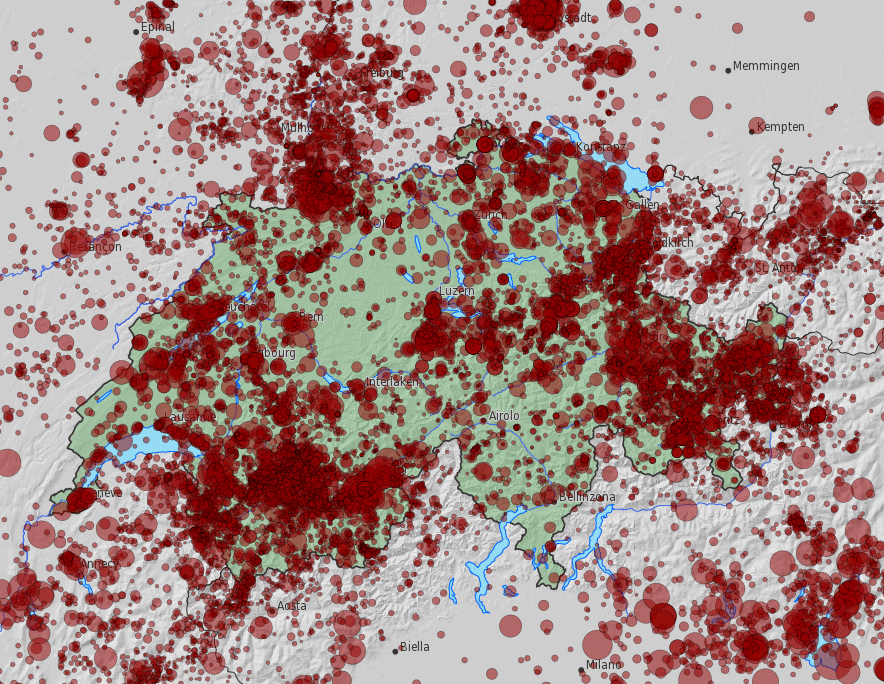
The new earthquake catalogue of Switzerland, ECOS-09, provides answers to these individual questions and more. The catalogue, covering Switzerland and neighbouring areas, encompasses all known natural and induced earthquakes from 250 AD to 2008.
2011-07-04
New data access
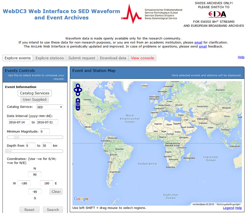
A guiding principle of the work at the SED is the open availability of the data from the national seismic networks. With the introduction of the latest software systems this data is now accessible via the ArcLink web-interface. In the framework of this software change the SED is now also part of the European Integrated Data Archive (EIDA), which provides access to seismological waveform data from all across Europe. Mainly the scientific community, but also interested lay-people with basic knowledge of data visualization, can now retrieve data via an interactive web-tool as well as script-based in near real-time.
2011-06-14
Vibration measurements at the NO building
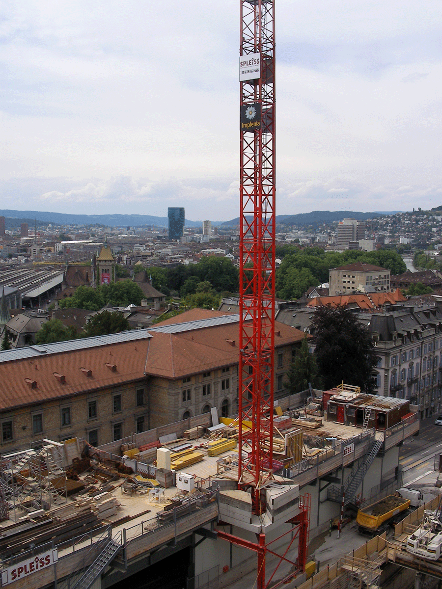
What happens to the building of the Department of Earth Science in case of blasts at the nearby construction site?
To answer this question members of the SED distributed 13 seismic sensors in their office building at the ETH to recorded the effects of the blasts.
2011-06-10
Erdbeben und Rutschungen verstehen
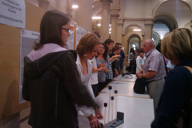
Im Rahmen der ETH-Studienwochen schnupperten Mittelschüler/innen Forschungsluft in den Gebieten Architektur, Erdwissenschaften, Maschinenbau und Verfahrenstechnik, Mathematik und Physik. Was die Gymnasiasten alles über Erdbeben und Rutschungen erfahren haben, sehen Sie hier.
2011-05-25
Earthquakes Japan and New Zealand 2011
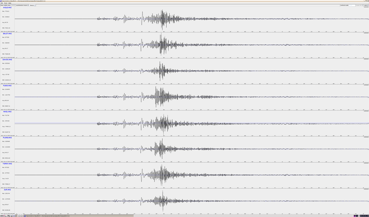
Seismograms of the event recorded at stations of the SED
The Recent Catastrophic Earthquakes in New Zealand and Japan from a Seismological Perspective
Public lecture by the Swiss Seismological Service at the ETH Zürich of Thursday, 17 March 2011
The destructive earthquake of Christchurch (M6.3, February 22) and the catastrophic event with subsequent tsunami off the coast of Japan (M9, March 11) put earthquakes and their consequences for our society once again back into public focus. Despite the intense coverage many questions on the How and Why of those disastrous events remain unclear in the media. Prof. Domenico Giardini, head of the Swiss Seismological Service, and his colleagues, report on the scientific state of knowledge for those events, the seismological conclusions, and what we may learn from them in particular also for Switzerland.
PDF of the presentation (7.5Mb, English)
Read more...
Further Information on the Earthquake
Following links provide more seismological information on the M 9 Earthquake of March 11 (mainly in English):
US Geological Survey: earthquake summary
IRIS (Incorporated Research Institutes for Seismology): teachable moments
EMSC (European-Mediterranean Seismological Centre): special report
Media appearances of SED Scientists on the Earthquake (selection)
12.04.2011: Radio SRF 4 News (Jochen Wössner)
08.04.2011: 10vor10 (Domenico Giardini)
18.03.2011: SF Arena (Domenico Giardini
2011-03-11
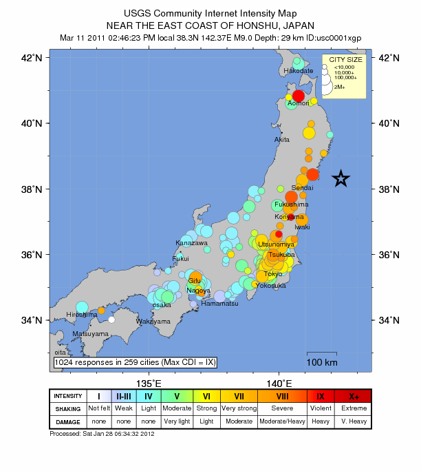
The Tohoku Earthquake in Japan
The Tohoku Earthquake of 11 March 2011 was the strongest earthquake so far in the southern Japan Trench since the beginning of the measurements. With a magnitude of 9.0 (Moment-Magnitude) it is ranked fourth on the list of the strongest earthquakes worldwide. In Switzerland an earthquake with a magnitude of 9.0 is impossible. Strong earthquakes with severe consequences, however, are possible and might occur anytime.
Read more...Even though Japan belongs to the most prepared countries the earthquake and the related tsunami caused immense suffering. Nevertheless thanks to the good preparations Japan operates a dense network of seismic monitoring stations. The collected data before, during and after the earthquake provides opportunities for scientists to gain new insights.
Despite the intense media coverage of the Tohoku event and the Christchurch earthquake of 22 February 2011 a lot of questions remain unanswered. Prof. Domenico Giardini, head of the Swiss Seismological Service and his colleagues reported in the week after the event on the scientific state of knowledge for those events, the seismological conclusions, and what we may learn from them in particular also for Switzerland.
2010-11-11
Annual report 2009 online
The annual report of the SED on the seismic activity in Switzerland 2009 is now available online as pdf. The document contains all reports since 1996 and an updated introduction.

2010-11-03
SED at the geoprotecta
Together with the other federal offices for natural hazards the SED presents itself at the geoprotecta 2010 in St. Gallen.

2010-08-02
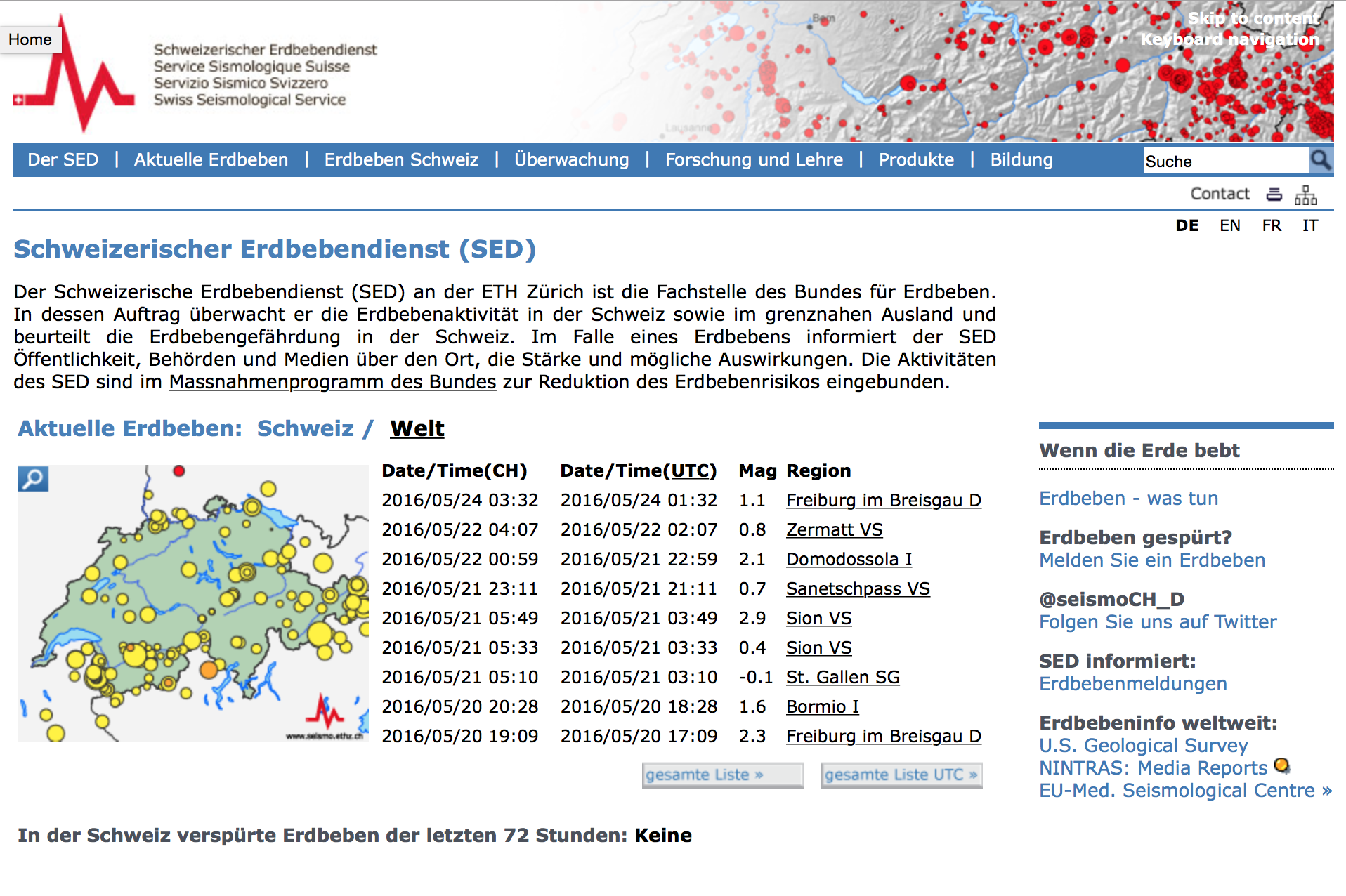
New web appearance for the SED
After 15 years of presence on the web the time has come for a new look. For more than one year a small group of dedicated staff worked on the new web-appearance, supported by ETH IT-Services, the SED IT-group, and many volunteers.
We hope you like the new design, and that timely and interesting information about earthquakes and seismology are now even easier to find than before.
Please be patient while not everything is 100% complete, some translations still are missing, and some features are still under construction.
Feedback and comments are welcome anytime.
2010-02-05
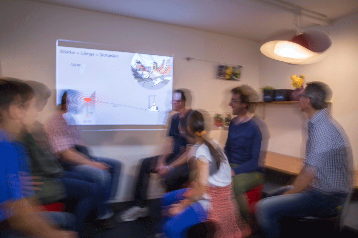
Earthquake simulator at focusTerra
The research and information centre of the earth sciences at ETH Zurich focusTerra recently acquired an earthquake simulator which was introduced to the public on Sunday, January 24th 2010 at an inauguration event. This simulator is a kind of container room furnished with tables and other movable objects; it can be experienced by 10 people at a time. With this machine, which weighs more than three tonnes, the ground movement during earthquakes with an intensity of up to VIII can be simulated.
2007-10-24
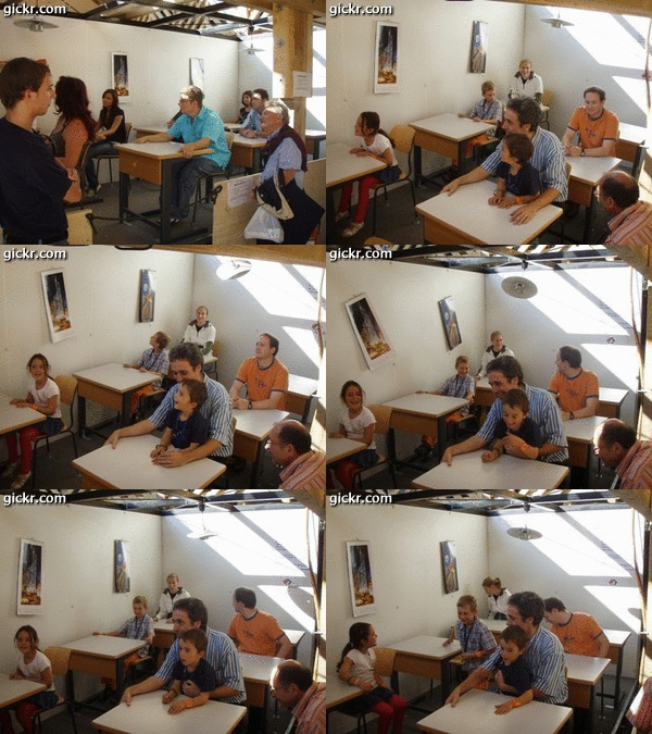
Züspa 2007
An der Züspa 2007 hat der Schweizerische Erdbebendienst den Erdbebensimulator betreut.
2007-10-22
Science City, Event – 22. Oktober 2007
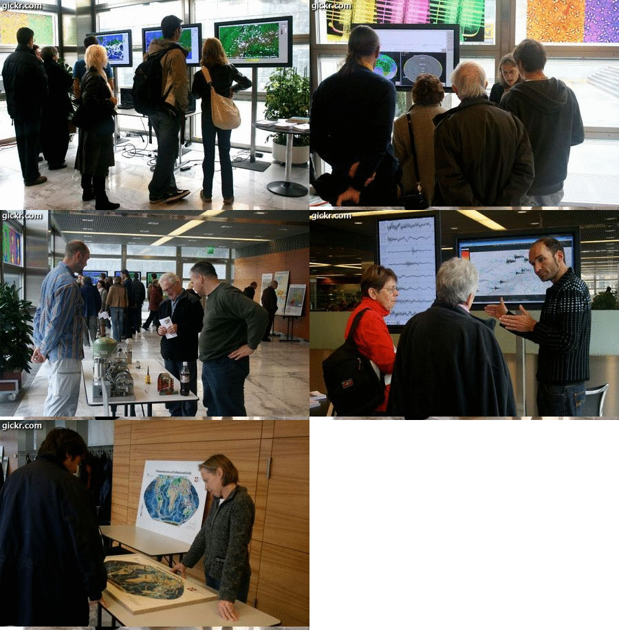
Im Rahmen des Sonntagsprogrammes "Wissenschaft erleben" von Science City an der ETH Hönggerberg stellte sich der Schweizerische Erdbebendienst (SED) am 21. Oktober 2007 vor. An verschiedenen Exponaten konnten die Besucher erleben, wie der SED Erdbeben in der Schweiz überwacht, wie ein Seismometer funktioniert, wo Erdbeben auf der Welt und in der Schweiz auftreten, und wie sich seismische Wellen durch das Erdinnere ausbreiten. An zwei Kurzvorlesungen (à 20 Minuten) wurde Interessierten ein Einblick in die Arbeit des SED und die Erdbebengefährdung in der Schweiz gegeben.
2006-07-11
Deep Heat Mining - Projekt Basel
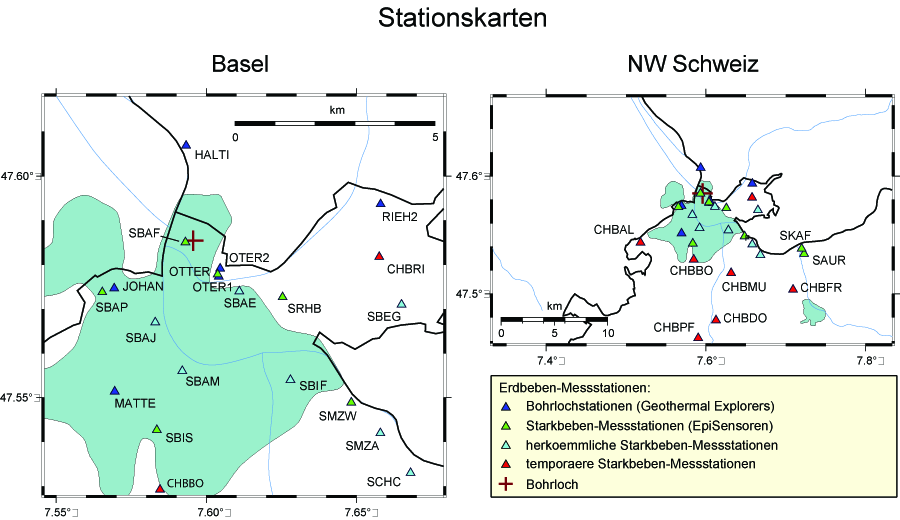
Der SED war von 2006 bis zum Ende des Projekts verantwortlich für die unabhängige Überwachung der Seismizität, die im Rahmen des Geothermieprojekts 'Deep Heat Mining' in Basel-Kleinhüningendurch durch das Einpressen von Wasser in den Untergrund ausgelöst wurde.
Die Information über die beobachteten Erdbeben und zu weiteren relevanten seismologischen Themen wurden auf einer eigenen Website der Allgemeinheit zugänglich gemacht. Seit Projektende wird diese Website nicht mehr aktiv betrieben.
Mehr Informationen über das Projekt Deep Heat Mining finden Sie hier.
Foire du Valais Martigny
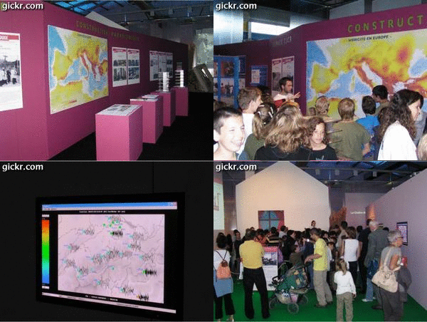
Im Rahmen der Ausstellung "Le Valais Bouge!" an der Foire du Valais 2006 in Martigny, konnten sich die Besucher und vor allem Schulkinder ein Bild über die Erdbebengefährdung im Wallis verschaffen. Insbesondere liessen sich die Auswirkungen eines stärkeren Bebens (wie z. B. das Erdbeben von 1946 in Sierre) auf gegenwärtige Gebäude beobachten. Daneben verwies die Ausstellung auf den Einfluss der Untergrundeigenschaften und klärte die Besucher über erdbebensichere Bauweisen auf.
Der Schweizer Erdbebendienst war neben Crealp, SIA, SGEB, OFEV und EPFL einer von 6 Partnern bei dieser Ausstellung.
OLMA
An der OLMA 2006 war der Schweizerische Erdbebendienst (SED) im Pavillon des Bundesamtes für Bevölkerungsschutz (BABS) präsent. Hauptattraktion an dieser Ausstellung war der Erdbebensimulator, der es den Besuchern ermöglicht ein simuliertes Erdbeben zu fühlen. Der SED hat diesen Simulator wissenschaftlich betreut und zum Thema Erdbeben informiert.

Welten des Wissens
Welten des Wissens – Die Erde bebt: In den zwei Wochen der Ausstellung (vom 22. April bis 8.Mai 2005) auf dem Platzspitz haben sich etwa 160'000 Besucher eingefunden um mehr über die Forschung an der ETH zu erfahren - ein überwältigendes Interesse, dass zu langen Schlangen vor den Zelten geführt hat.
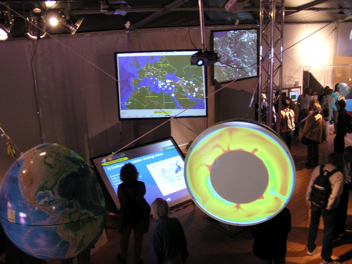
Beim Schweizerischen Erdbebendienst (SED) konnten die Besucher die Naturerscheinung Erdbeben hautnah und dreidimensional erleben. Angefangen bei der Entstehung von Erdbeben, dessen Wellenausbreitung durch und rund um die Erde bis hin zur Aufzeichnung mittels Seismometer und deren Auswertung wurde die Arbeit des schweizerischen Erdbebendienstes dem Besucher näher gebracht. Dem Seismologen bei der Arbeit konnte über die Schulter geschaut werden, wenn Sie einen Erdbebenherd lokalisierten und die Stärke eines Bebens bestimmt haben. Weitere Schwerpunkte in der Ausstellung war die Erdbebengefährdung der Schweiz und die Entstehung und Ausbreitung von Tsunamis. Durch die Enge Zusammenarbeit mit den Bauingenieuren (Erdbebensicheres Bauen), Geotechniker (Bodenverflüssigung) und den Limnologen (Seeforschung) wurde den Besuchern die Wichtigkeit der Forschung im Bereich dieser Naturgefahr nähergebracht.
RedPuma
Rapid earthquake data to Pagers, users, e-mail recipients, and authorities
RedPuma ist ein Software-System, das in den frühen 2000er Jahren am SED von Urs Kradolfer entwickelt wurde. Zu dieser Zeit war es eines der ersten (und schnellsten) Systeme, welches Erdbebenmeldungen von verschiedenen seismologischen Observatorien verarbeiten konnte um diese zu gruppieren und zu analysieren und dann selbst Meldungen an Abonnenten zu verteilen.
RedPuma gewann schnell an Bedeutung und wurde weltweit von zahlreichen Personen (Seismologen und anderen Interessierten) verwendet um verlässliche Erdbebeninformationen in nahezu Echtzeit zu erhalten.
Die ursprüngliche RedPuma Software wurde mittlerweile durch die nächste Generation des Alarmsystems ersetzt. Dabei wurden die Grundzüge des Konzepts erhalten sowie die Bezeichnung, welche weltweit Bekanntheit geniesst und mit dem SED verbunden wird.
Die original RedPuma Webseiten sind zwischenzeitlich nicht mehr in Betrieb.
