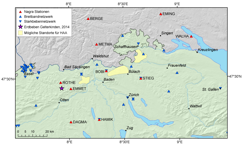
Northeastern Switzerland
Between 2011 and 2013, the Swiss Seismological Service (SED) at ETH Zurich (SED) extended its earthquake measuring system in Northeastern Switzerland by building 10 new seismic stations. This expansion was financed by the National Cooperative for the Disposal of Radioactive Waste (NAGRA) and Switzerland's nuclear power plants.
© Beat Müller
© Beat Müller
© Beat Müller
The aim of building a more concentrated network was to gain a clearer picture of seismic activity near the sites for highly radioactive waste proposed within the framework of Switzerland's Sectoral Plan for Deep Geological Repositories. The new stations complement those already run since 2003 by the SED and NAGRA and give the SED a denser national broadband network (SDSNet) in this region. With this denser network, the SED should be able to accurately record even very small microearthquakes in the years to come.
The data gathered by the network will help to identify unknown active fault zones with very slow tectonic movements and also to potentially link them to known geological structures. In the medium term the data will deepen our understanding of seismotectonics (i.e. the study of why and where earthquakes occur) in the region under investigation. The additional data should enable the authorities to carry out more detailed studies in future (e.g. of relevance to judgements about long-term deep geological disposal of radioactive waste or the seismic hazards faced by nuclear power plants and other infrastructure where safety is a key factor).
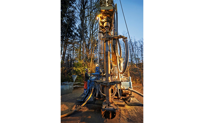
Six additional measurement stations have been set up in Switzerland, three in boreholes between 120 and 160 metres deep. Installing highly sensitive sensors in boreholes enables us to record high-quality data in areas where measurements would otherwise suffer strong interference from seismic tremors caused by transport or industrial activity on the surface. Four of the 10 new stations are in Germany, because the territory under investigation includes areas close to the border between the two countries and known geological fault zones in the vicinity of Lake Constance. As has now been the case with stations close to the Swiss border for some time, the recorded data will be exchanged in real time, in this case with the federal state of Baden-Württemberg's Earthquake Office (LED).
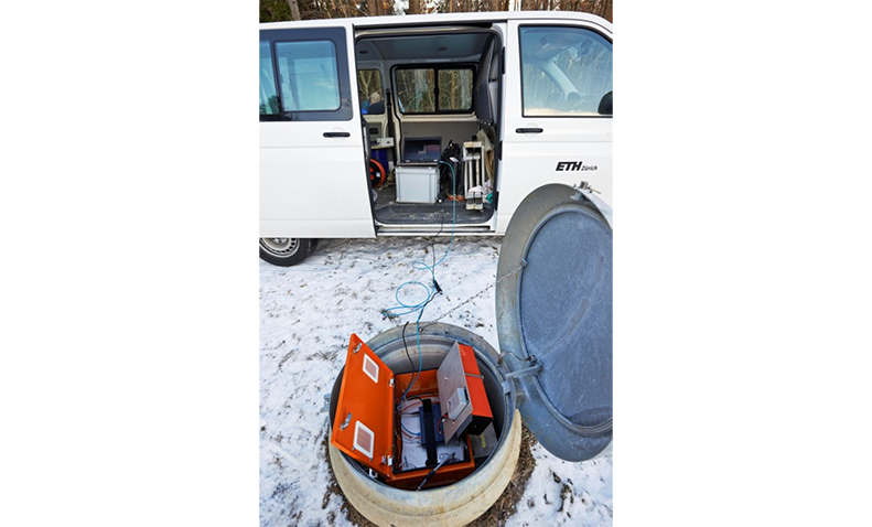
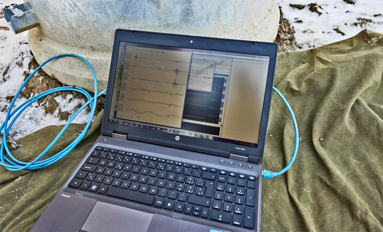
The data are transferred in real time over telephone lines or the mobile network to the SED's computer centre in Zurich, where they are collated, continually monitored for indications of potential earthquakes and filed. All registered localised earthquakes are immediately published on the SED website, as are waveforms recorded by the new seismic measuring stations. If a stronger earthquake occurs, the Earthquake Office notifies the general public, the authorities and the media.
At six minutes past midnight on 31 January 2014, an earthquake with a magnitude of 1.6 occurred near Gelterkinden in the canton of Basel-Landschaft. The quake was too weak to be noticed by local inhabitants, but was picked up by all the measuring stations in the new, denser network in Northeastern Switzerland. The figure below shows the waveforms (seismograms) in order of their distance from the epicentre of the earthquake.
Seismograms of the earthquake on 30 January 2014 near Gelterkinden in the canton of Basel-Landschaft
