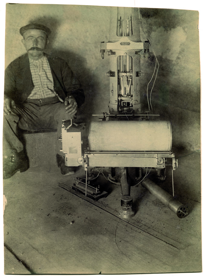
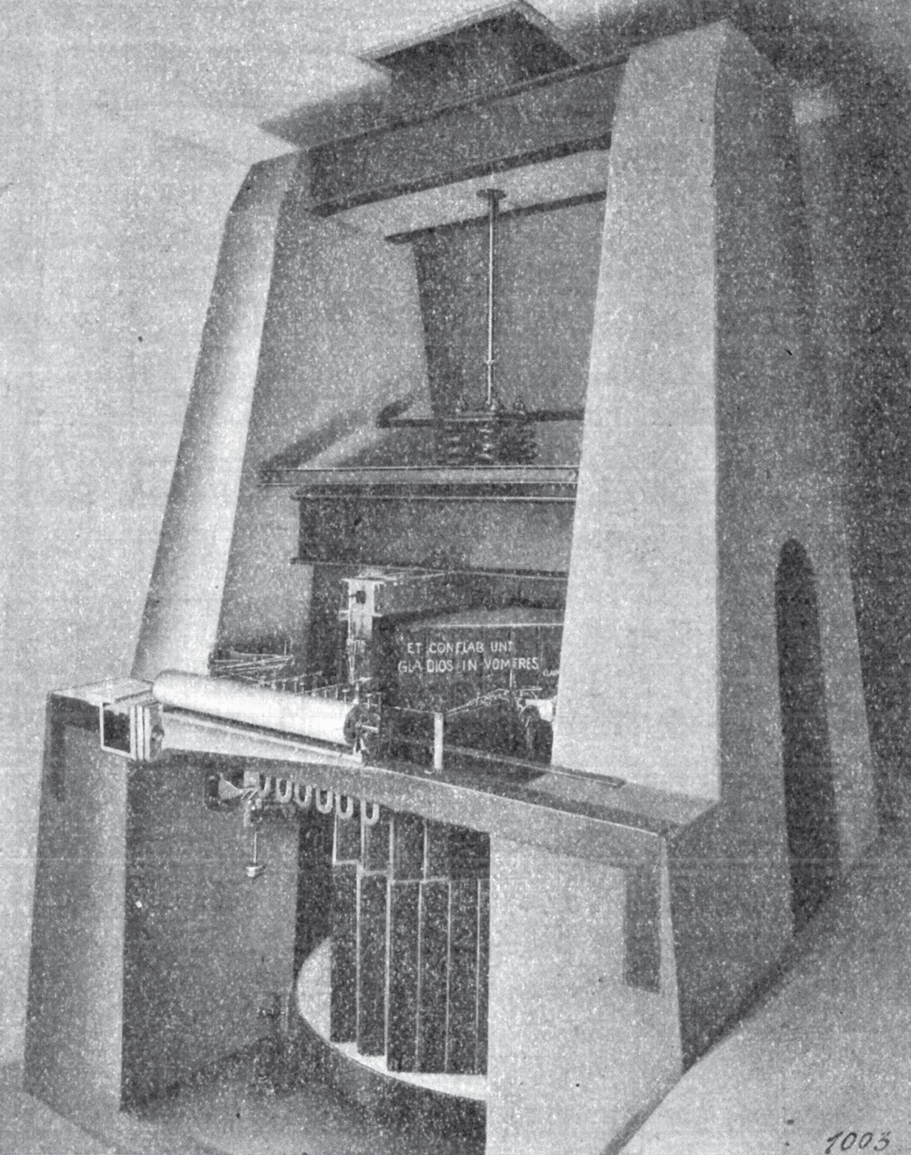
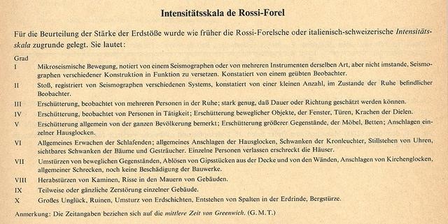
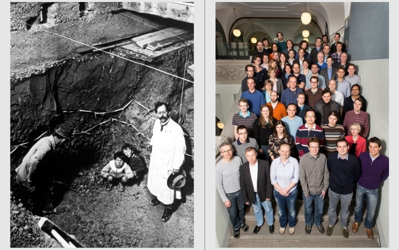
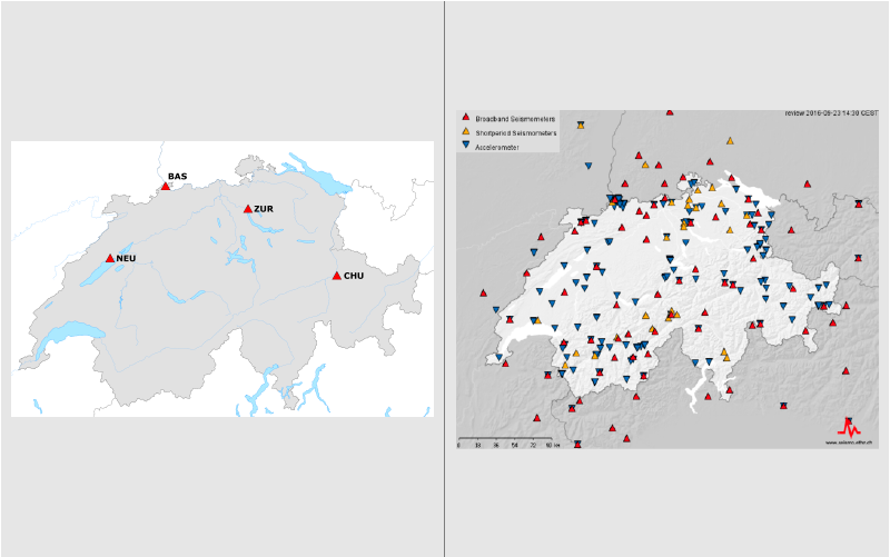
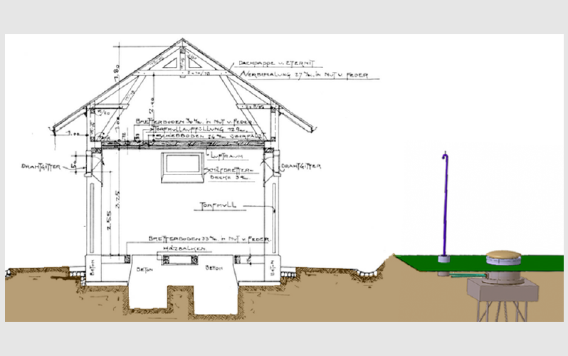
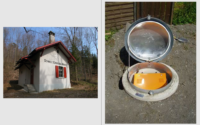
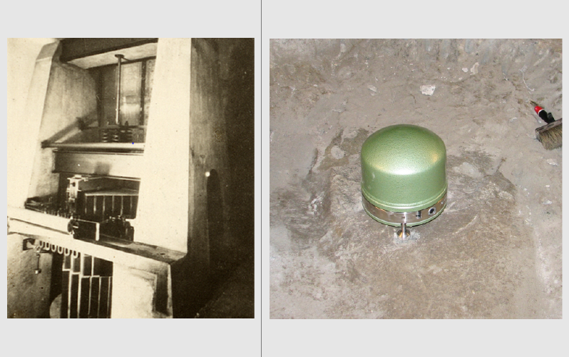
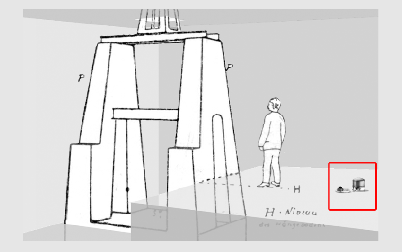
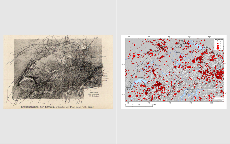
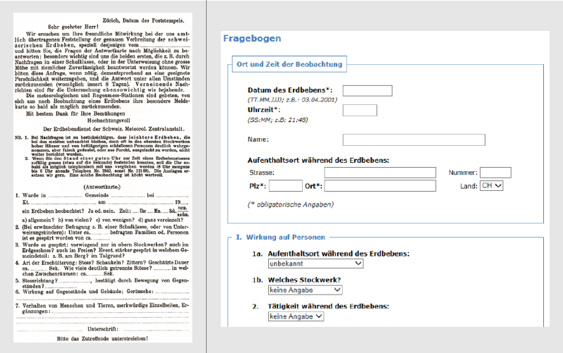
The beginnings of the Swiss Seismological Serivce (SED) trace back to the establishment of the Erdbebenkommission in 1878. In 1914 the Swiss Meteorological Institution took over the seismological service in Switzerland. In 1957 this SED was attached to the Institute of Geophysics at ETH Zurich. Since 2009 the SED is organised as a non-departmental entity under the direct control off the Vice President of Research, but it remains associated with the Department of Earth and Planetary Sciences.
| 2023 | At the request of the Federal Council, the Swiss Seismological Service (SED) at ETH Zurich together with the Federal Office for the Environment (FOEN), the Federal Office for Civil Protection (FOCP), EPFL and other partners from industry have developed the first publicly accessible earthquake risk model for Switzerland. |
| 2017 | Federal council resolution of June, 6, 2017, concerning earthquake precaution measures taken by the federal government for the period 2017 – 2020 |
| 2015 | After ten years of intensive research, the Swiss Seismological Service (SED) at ETH Zurich has created an updated seismic hazard model, which confirms that earthquakes are a serious hazard for Switzerland. |
| 2015 | On 21 January 2015, the Swiss Federal Council approved the application for Switzerland's participation in the second GEM Working Programme. |
| 2014 | Hundredth anniversary of the Swiss Seismological Service (SED) as the official federal agency for earthquake monitoring |
| 2014 | Start of modernization of broadband network |
| 2013 - 2019 | Second phase of modernization of strong motion network |
| 2013 | Stefan Wiemer becomes Director of the Swiss Seismological Service and Professor of Seismology. |
| 2013 | Federal council resolution of January, 30, 2013, concerning earthquake precaution measures taken by the federal government for the period 2013 – 2016 |
| 2010 | New website of the SED |
| 2010 |
New federal council resolutions:
|
| 2009 - 2013 | First phase of modernization of strong motion network |
| 2009 |
New federal council resolutions:
|
| 2009 | The SED becomes a non-departmental entity under the direct control of the Vice President of Research and Economic Relations at ETH Zurich. |
| 2005 | Start of upgrading of the real-time communication of the monitoring stations with data transfer to the Internet by telephone (previously via FOITT data network) |
| 2004 |
The SED publishes a seismic hazard map of Switzerland. Although it was only published in 2004, the findings were included in SIA norm 261 (2003 version). 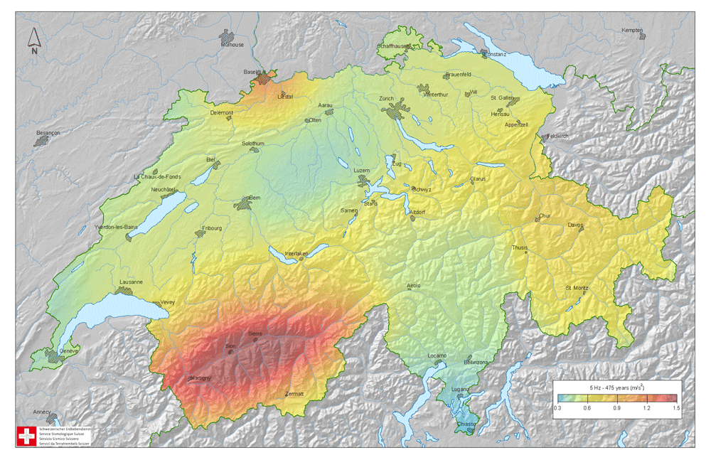 |
| 2004 | Powerful and highly available separate web server (Cluster on Linux) taken into operation. |
| 2003 | Opening of the IMS-Station DAVOX with satellite connection to the Nuclear-Test-Ban Treaty Organisation (CTBTO) in Vienna. |
| 1999 | The on-call personnel is alerted with SMS in addition to the pagers used before. |
| 1998 | Publication of a uniform seismic hazard map for Germany, Austria, and Switzerland (known as D-A-CH) |
| 1997 - 2013 | Domenico Giardini holds the position of director of the Swiss Seismological Service and Professor of Seismology at ETH Zurich. |
| 1997 | Change from a redundant parallel data-collection system to a high-availability system using two servers. |
| 1997 - 2004 | Establishment of a new network of highly dynamic broadband seismometers; digital data transmission into the data network of the Federal Office of Information Technology, Systems and Telecommunication FOITT. |
| 1996 | Federal council resolution concerning the signing of the treaty for a complete ban of nuclear tests (nuclear-test-ban treaty, CTBT). The SED is tasked with the establishment and maintenance of a seismic sensor station near Davos integrated into the international monitoring system. The SED thus becomes Switzerland’s national data center for the international monitoring system. |
| 1995 | First foray of the SED into the World Wide Web. The very first version from 1995 is lost to time; the oldest version still available dates from 1996. |
| 1992 - 1998 |
Installation of the Swiss strong motion network with acceleration sensors to detect strong ground movement. Until 1998, 59 sensors get installed on the open field and 34 sensors are built into in dams. |
| 1983 |
Establishment of an automated data recording and evaluation system:
|
| 1982 | SED becomes a member of Swiss Rescue. |
| 1977 | Publication of the first earthquake hazard map of Switzerland (Saegesser und Mayer-Rosa). Basis for the SIA norm 160 “Effects on Supporting Structures” (Einwirkung auf Tragwerke) published in 1989. |
| 1974 - 2000 | A high-sensitivity sensor network with radio-telemetry and central data collection is initiated; in the year 2000 it consists of more than 20 stations equipped with short-period sensors. |
| 1974 - 1986 | Earthquakes are recorded on microfilm (previously carbon paper). |
| 1972 - 1998 | Dieter Mayer-Rosa is leading the Swiss Seismological Service. |
| 1971 - 1995 | Stephan Müller takes over as the head of the Institute of Geophysics and at the same time holds the position of director of the Swiss Seismological Service. |
| 1969 - 1971 | Max Weber is leading the Swiss Seismological Service. |
| 1956 - 1969 | Fritz Gassmann holds the position of director of the Swiss Seismological Service. |
| 1956 |
On December 7th the federal assembly agrees on a federal law which puts the SED under the wing of the ETH Zurich (Institute of Geophysics). The law came into effect on March 29th 1957 and outlined the following tasks:
|
