|
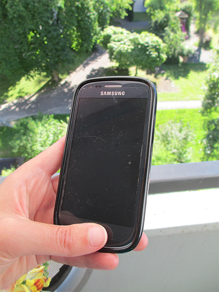
Chile has been struck by a number of very large earthquakes (magnitude 7.5 or greater) and tsunamis in the past. There is a clear need for building a system to provide rapid situational awareness, as well as earthquake and tsunami early warning. Since scientific instruments are expensive, we are exploring the use of dense networks of seismic and geodetic low-cost sensors. The Earthquake Science Center oft he U.S. Geological Survey (USGS) has recently started to deploy a prototype network of dedicated smartphone units along the Chilean coast (Brooks et al., 2016). Each sensor box contains a smartphone with integrated MEMS accelerometer, and an external consumer-quality GPS chip and antenna to determine real-time positioning data. The total cost of each box is on the order of a few hundred dollars, nearly two orders of magnitude lower than scientific-grade installations. A first subset of 9 smartphone-boxes has been installed in November 2015; another set of 200 units will be deployed by the end of 2016. We will invert seismic and geodetic real-time data from the smartphone units to obtain finite-fault models of large earthquakes by joint application of the seismic FinDer algorithm developed at the Swiss Seismological Service (SED) (Böse et al., 2012, 2015) and the geodetic BEFORES algorithm developed by Minson et al. (2014). The SED collaborates in this project closely with partners at the USGS, the University of Chile, Chilean National Seismological Center, University of Houston, and GISMatters Inc. |
|---|---|
| Project Leader at SED | Maren Böse |
| SED Project Members | John Clinton |
| Funding Source | United States Agency for International Development (USAID) Office of U.S. Foreign Disaster Assistance (OFDA) |
| Duration | 2015-2016 |
| Keywords | Earthquake Early Warning, Seismic Networks, Low-cost Sensors, Smart-phones, Chile |
| Research Field | Earthquake Early Warning, Real-time monitoring, Network Seismology |