| Heure locale | 2018-07-03 12:53:10 |
|---|---|
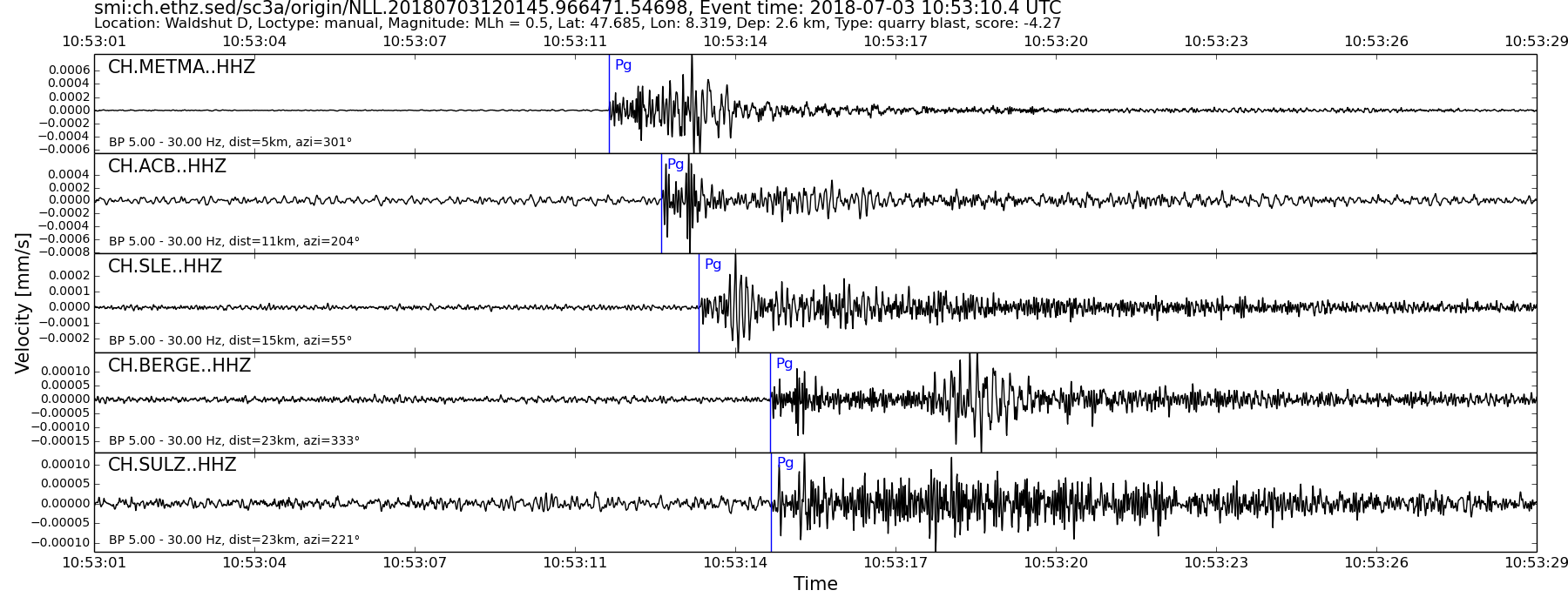
| UTC time | 2018-07-03 10:53:10 |
| Type de l'évènement | quarry blast |
| Latitude / Longitude | 47.68 / 8.32 |
| Coordonnées Suisses | 666074 / 281955 |
| Magnitude | 0.5 |
| Type de Magnitude | MLh |
| Localité | Waldshut D |
| Profondeur [km] | - |
| Type de localisation | manual |
| Institut | SED |
| Dernière modification | 03-07-2018 12:01:49 |
| Degré de danger | 0 (suivant les Services spécialisés dangers naturels de la Confédération) |
| Origin ID & metadata | smi:ch.ethz.sed/sc3a/origin/NLL.20180703120145.966471.54698 |
|
GSE 2.1 provisional format |
|---|
| BEGIN GSE2.1 MSG_TYPE DATA MSG_ID 2018/07/03_105717309 CHE_NDC DATA_TYPE BULLETIN GSE2.1:short Reviewed Event Bulletin (REB) of the CHE_NDC for July 03, 2018, 10:53:10.548 EVENT 2018/07/03_105310548 WALDSHUT D Date Time Err RMS Latitude Longitude Smaj Smin Az Depth Err Ndef Nsta Gap mdist Mdist Qual Author OrigID 2018/07/03 10:53:10.55 0.06 47.6898 8.3144 5681.3 944.5 151 2.4 2.3 8 8 116 0.05 0.37 a i uk SED -------- Magnitude Err Nsta Author OrigID MLh 1.1 0.3 6 SED -------- Sta Dist EvAz Phase Time TRes Azim AzRes Slow SRes Def SNR Amp Per Qual Magnitude ArrID METMA 0.05 298.4 P 10:53:11.765 0.0 ___ 144.9 a__ MLh 1.1 -------- ACB 0.11 201.9 P 10:53:12.805 -0.2 ___ 184.5 a__ MLh 1.4 -------- SLE 0.14 57.7 P 10:53:13.559 0.0 ___ 94.6 a__ MLh 1.1 -------- BOBI 0.14 173.7 P 10:53:13.720 0.0 ___ 22.3 a__ MLh 0.5 -------- BERGE 0.20 333.7 P 10:53:14.930 0.0 ___ 47.4 a__ MLh 1.0 -------- FELD 0.28 312.1 P 10:53:20.490 4.1 ___ a__ -------- EMMET 0.33 219.2 P 10:53:17.344 0.0 ___ 39.0 a__ MLh 1.1 -------- KIZ 0.37 315.4 P 10:53:19.990 1.9 ___ a__ -------- BFO 0.64 0.9 P 10:53:24.928 ___ a__ -------- STOP |