Engineering Seismology
Engineering seismology lays the bases for calculating seismic hazard, and includes producing catalogues of historical and instrumental earthquakes, reliable ground motion mitigation models and high-definition geological underground models and interpreting historical accounts. Engineering seismologists produce local seismic hazard maps (microzonation) and link the results to data on building vulnerability so that dependable risk assessments can be carried out.
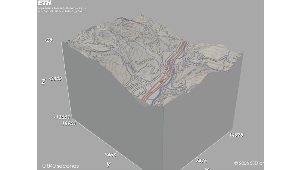
Figure: A geophysical 3D model of Visp and recordings of a minor earthquake on the installed strong motion equipment (COGEAR project)

Origins
Whereas the focus in the past was on what to do after a catastrophic earthquake, nowadays attention is shifting more and more to prevention, comprising the implementation of measures designed to mitigate risks. To this end, engineering seismology aims to lay down and develop corresponding foundations and methods used to enable the assessment of site-specific seismic hazards. It combines the disciplines of historical seismology, strong motion seismology and location effects, numerical modelling and earthquake-induced phenomena, and then crystallises that knowledge into basic practical guidelines for civil engineering, spatial planning and setting technical standards for construction.
Earthquake Catalogues and Seismic Observations
A robust earthquake catalogue provides a basis for making statistical statements about the probability of earthquakes occurring in a certain area. Historical details of the locations and strength of earthquakes are derived primarily from observations of their impact on nature, people and buildings. The consequences are described along with tremor's macroseismic intensity, the distribution of which serves to calculate the magnitude of historical earthquakes. Since having a comprehensive earthquake catalogue based on homogeneous magnitudes is an essential prerequisite for forecasting seismic hazards, gathering macroseismic intensity data is also an important task in the modern era of instrumental recording, because it helps us improve the calibration of historical quakes in the future.
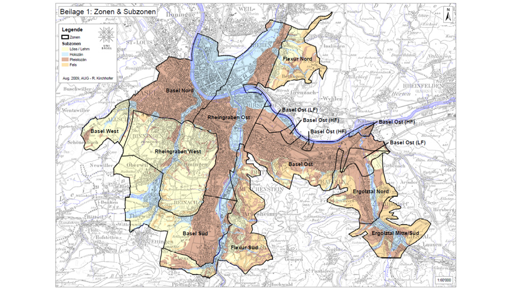
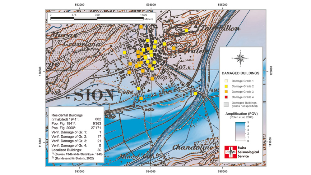
Microzonation – Looking into the Local Geological Underground
Compared with solid, rocky ground, soft soils like valley floors, riverbanks and lake shores can amplify seismic tremors by a factor of up to 10 (in extreme cases). Consequently, in addition to producing seismic hazard maps showing regional differences in risk levels, the likelihood of site-specific underground tremors also has to be ascertained, in so-called microzonation studies. These studies entail the geological and geotechnical mapping of unconsolidated sediments, the analysis of slope stability and the potential for soil liquefaction, the use of geophysical measurements to predict amplifications of seismic waves, and numerical simulations calibrated to earthquake recordings. Several such studies have been carried out, concentrating especially on the regions around Basel, Lucerne, Sion and Visp in the canton of Valais, Bucharest in Romania and parts of the Egyptian capital, Cairo.
Risk Analysis – an Instrument for Planning Earthquake Mitigation
A medium earthquake risk combined with a dense population and high value concentration means that Switzerland faces a high seismic hazard. The quantification of the actual risk level is based on maximally realistic earthquake damage scenarios. Building vulnerability is also taken into account in so-called 'fragility curves' and combined with expectations about local seisms. Scenarios like this enable forecasts to be made about the potential physical and financial damage and numbers of fatalities, injuries and homeless people in the wake of an earthquake. Another key point entails the accurate factoring in of uncertainties when calculating damage scenarios. At the time of writing, all school buildings in the canton of Basel were being analysed using such a risk model, focussing in particular on issues associated with the cost-effectiveness of seismic retrofitting measures.