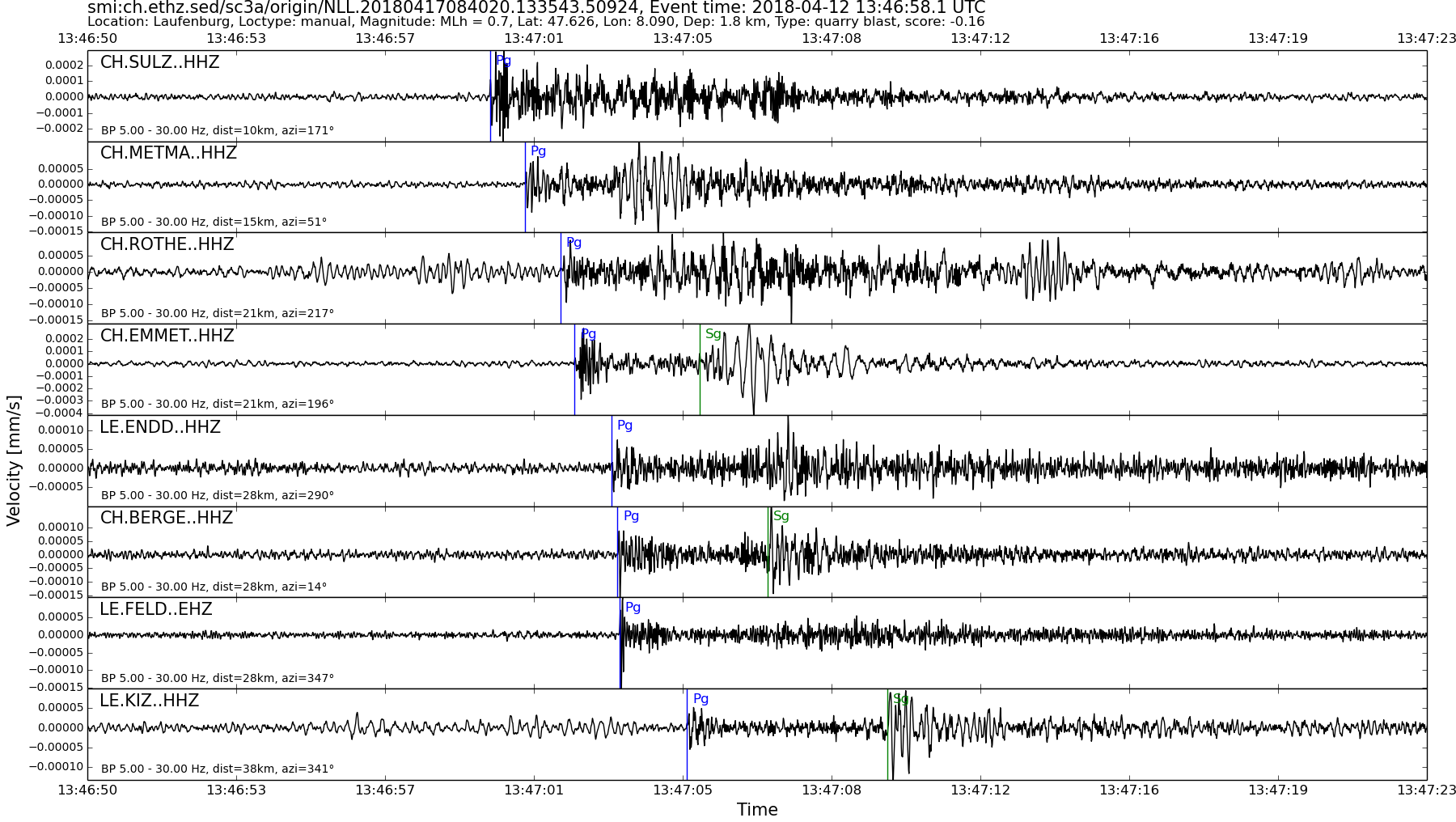
| Local time | 2018-04-12 15:46:58 |
|---|---|
| UTC Time | 2018-04-12 13:46:58 |
| Event Type | quarry blast |
| Latitude / Longitude | 47.63 / 8.09 |
| Swiss Coordinates | 648997 / 275239 |
| Magnitude | 0.7 |
| Magnitude Type | MLh |
| Location | Laufenburg |
| Depth [km] | - |
| Location Type | manual |
| Agency | SED |
| Last Update | 17-04-2018 08:40:28 |
| Danger level | - |
| Origin ID & Metadata | smi:ch.ethz.sed/sc3a/origin/NLL.20180417084020.133543.50924 |