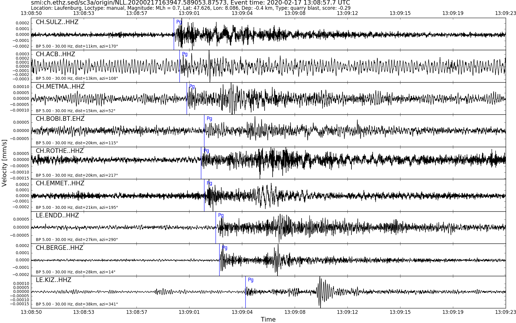
| Local time | 2020-02-17 14:08:57 |
|---|---|
| UTC Time | 2020-02-17 13:08:57 |
| Event Type | quarry blast |
| Latitude / Longitude | 47.63 / 8.09 |
| Swiss Coordinates | 648684 / 275237 |
| Magnitude | 0.7 |
| Magnitude Type | MLh |
| Location | Laufenburg |
| Depth [km] | - |
| Location Type | manual |
| Agency | SED |
| Last Update | 17-02-2020 16:39:49 |
| Danger level | - |
| Origin ID & Metadata | smi:ch.ethz.sed/sc3a/origin/NLL.20200217163947.589053.87573 |